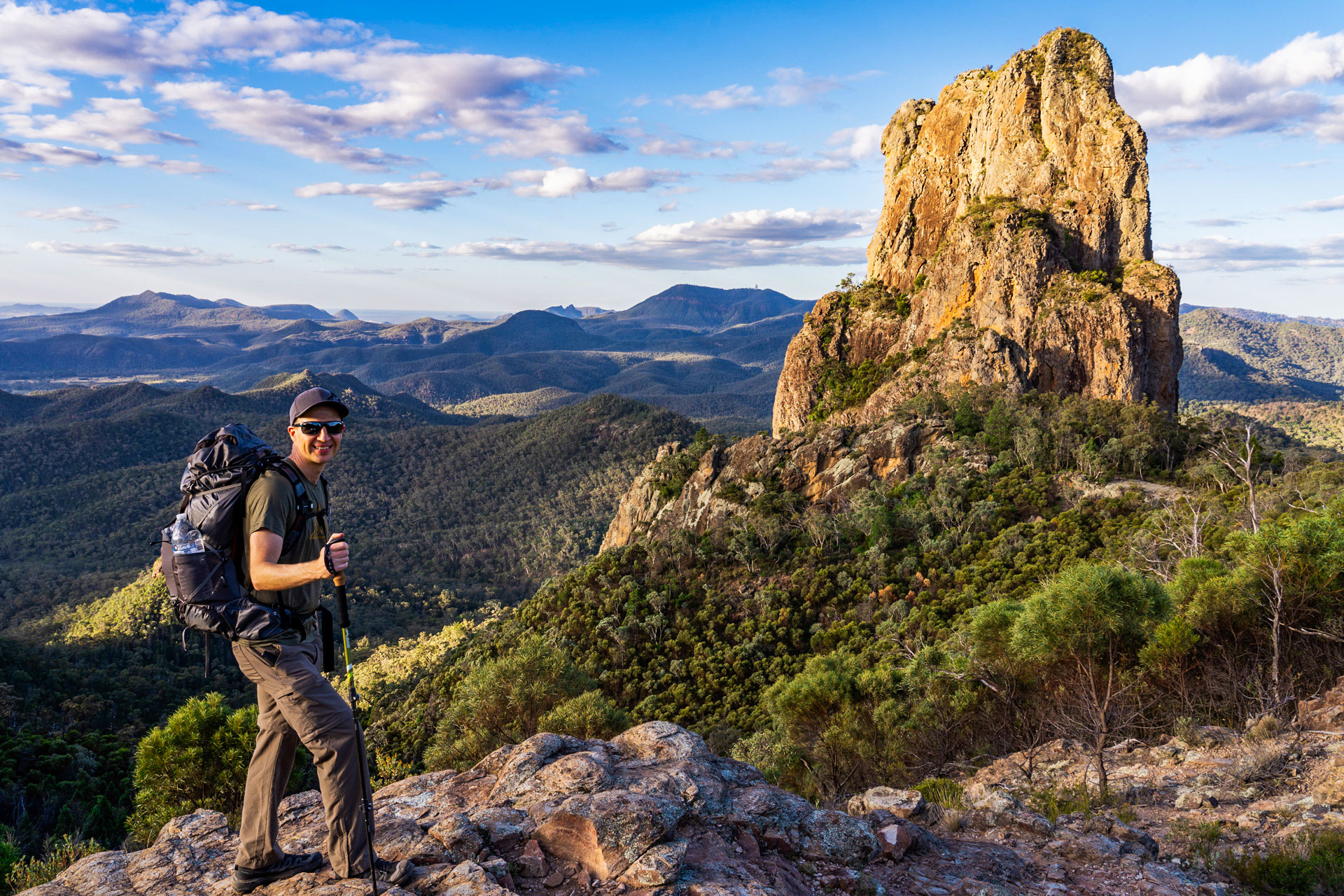
The Breadknife and Grand High Tops walk is widely considered one of the best hikes in NSW — ancient volcanic formations, 360° summit views, and a trail that genuinely earns the hype.
But before you go, you need to make one key decision: which version of the hike are you going to do?
From the shorter return walk to the Breadknife, to the full Grand High Tops Loop and the extended Bluff Mountain variation, there are several ways to experience this iconic Warrumbungle hike.
In this guide, I’ll walk you through the different route options, highlight the trail’s standout features, and cover everything you need to know before setting off.
Grand High Tops Trail Overview
- Location: Warrumbungle National Park
- Start & Finish: Pincham Car Park
- Distance: 11 to 16 km (depending on the route)
- Duration: 5-8 hours
- Difficulty: Moderate to Hard (steep sections and many steps)
- Best Time: Autumn, Winter and Spring
- Camping Available: Yes — Dows Camp, Ogma Gap, Balor Hut, Hurleys Camp
Which Grand High Tops Walk Should You Do?
This is the most important decision. There are three main ways to tackle this hike, depending on your fitness, time, and ambition.
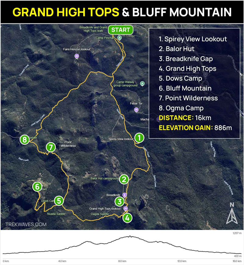
1. Return Track to the Breadknife & Lugh’s Throne (~11km)
The easiest version. You head up to the Breadknife, continue to Lugh’s Throne at the Grand High Tops for those famous 360° views, then return the same way. Perfect for hikers wanting to experience the highlights without committing to the full loop. Still a solid workout with the ascent, but very manageable.
2. Breadknife & Grand High Tops Loop (13.3km)
The classic circuit. Same highlights as above, but you return via the West Spirey Creek track instead of retracing your steps — making it a proper loop. This is the most popular version and the one most guides are describing when they say “the Grand High Tops Walk.” Allow a full day.
3. Grand High Tops Loop + Bluff Mountain Summit (15km+)
The full experience. Everything in version 2, plus a detour to the summit of Bluff Mountain — the second highest peak in Warrumbungles — for even bigger views from a completely different angle. This is best done as an overnight hike, camping at Dows Camp at the base of Bluff Mountain.
This is the version we did, and it’s the one we’d recommend to anyone willing to carry a pack.
The Most Important Thing: Water
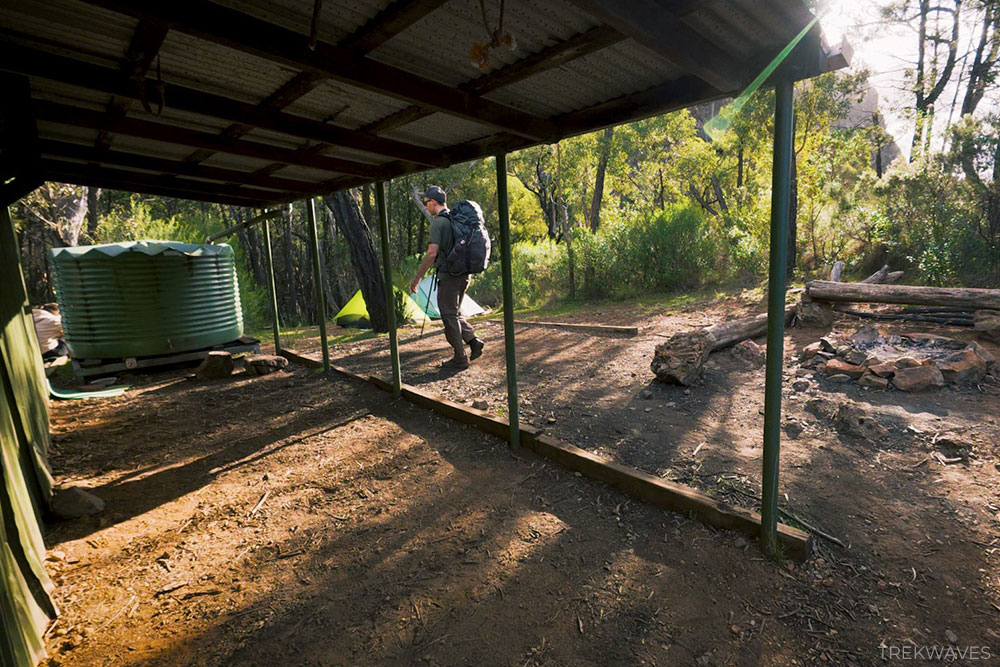
Water planning on this trail is non-negotiable. Creeks throughout the park are frequently dry, even after rain. The only reliable water source on the circuit is the rainwater tank at Balor Hut.
If you’re doing the overnight version, carry enough water to get to Balor Hut on day one, then top up before continuing to Dows Camp.
Before setting out, check in at the visitor centre to confirm the current water availability at Balor Hut.
Camping Overnight: Dow’s Camp
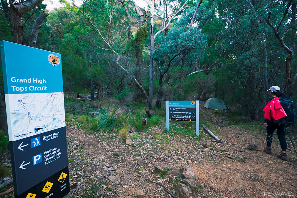
Dow’s Camp is a small, basic walk-in campground situated about 7km from Pincham Carpark, perfectly placed for a Bluff Mountain sunset or sunrise. Here’s what to know:
- 3 tent sites only — book online via NSW National Parks ($6 booking fee, no camping fee)
- No toilets and no wood fires permitted
- Located right at the footsteps of Bluff Mountain (1.3km to the summit)
Book early. It fills up fast on weekends and public holidays. If Dow’s Camp is full, Ogma Gap is the next option along the trail.
Main Highlights Along the Way
Rather than a turn-by-turn breakdown (the trail is very well signed throughout), here are the best places worth knowing about:
- Spirey View Lookout — A quick 150m detour at the start. Your first glimpse of the volcanic peaks you’re about to climb. Sets the scene perfectly.
- Balor Hut — A 100m detour off the main trail. Built in 1967, this is your water stop. Fill up here.
- Breadknife Gap — Just 50m off the main trail. An impressive close-up view of the Breadknife rock formation. Don’t skip it — takes five minutes and the views are spectacular.
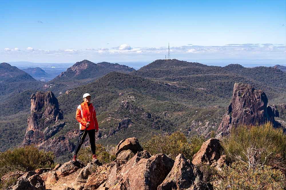
- Lugh’s Throne / Grand High Tops — The summit moment. 360° views over the entire Warrumbungles volcanic landscape. This is what you came for.
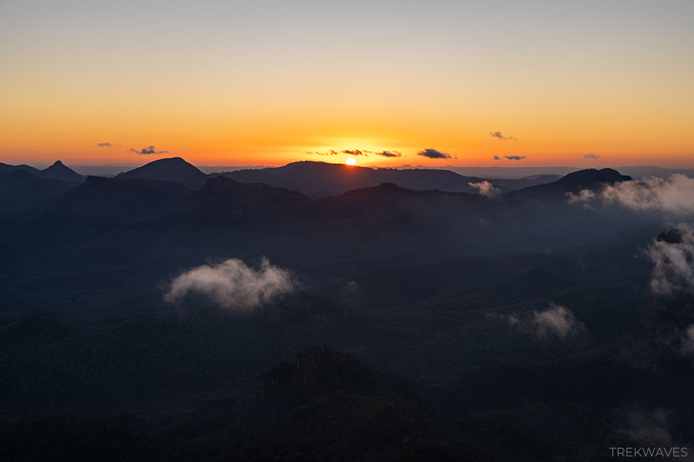
- Bluff Mountain at Sunrise — If you’re camping at Dow’s, set an alarm and hike the 1.3km to the summit before dawn. The best view of the trip, hands down.
Trail Overview: Our Experience
We arrived at Warrumbungle National Park straight from Mount Kaputar, starting the trail at 2pm — later than ideal, but enough time to reach Dows Camp before dark. The first section from Pincham Carpark is wide, flat, and easy to follow.
After a quick detour to Spirey View Lookout to get our bearings (and our first look at the peaks we were about to climb), the trail climbs steeply to the tops. There are a lot of steps, but the trail is extremely well-signposted throughout.
You’ll also notice yellow reflective triangles on the rocks along the way — these markers make navigation much easier if you’re hiking before sunrise or after dark.
We stopped at Balor Hut to refill water (strong pressure, plenty in the tank), then continued to the Breadknife Gap before making the push to Lugh’s Throne.
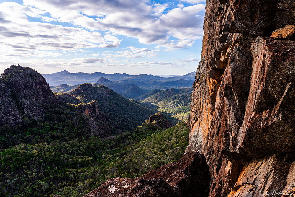
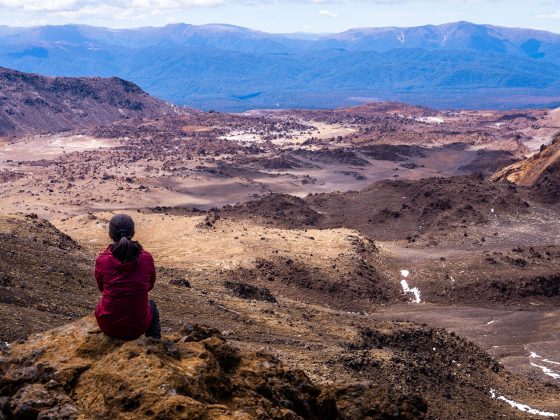
The views from the Grand High Tops in the late afternoon light were some of the best we’ve seen anywhere in NSW. By the time you reach Lugh’s Throne, the trail has climbed over 300m of elevation — and you feel every bit of it when you turn around and take in the full panorama.
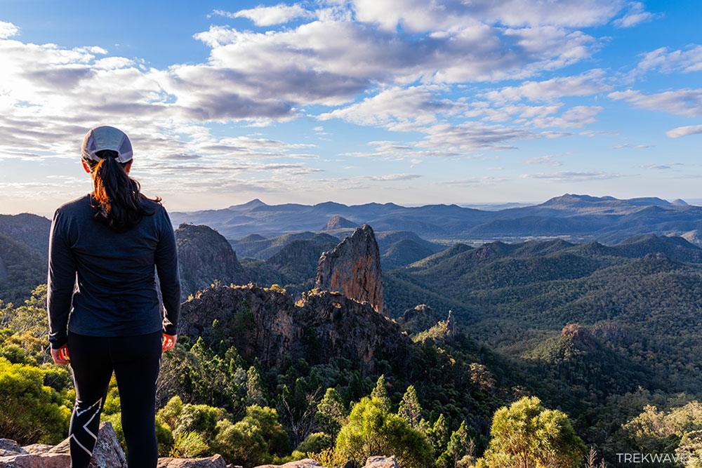
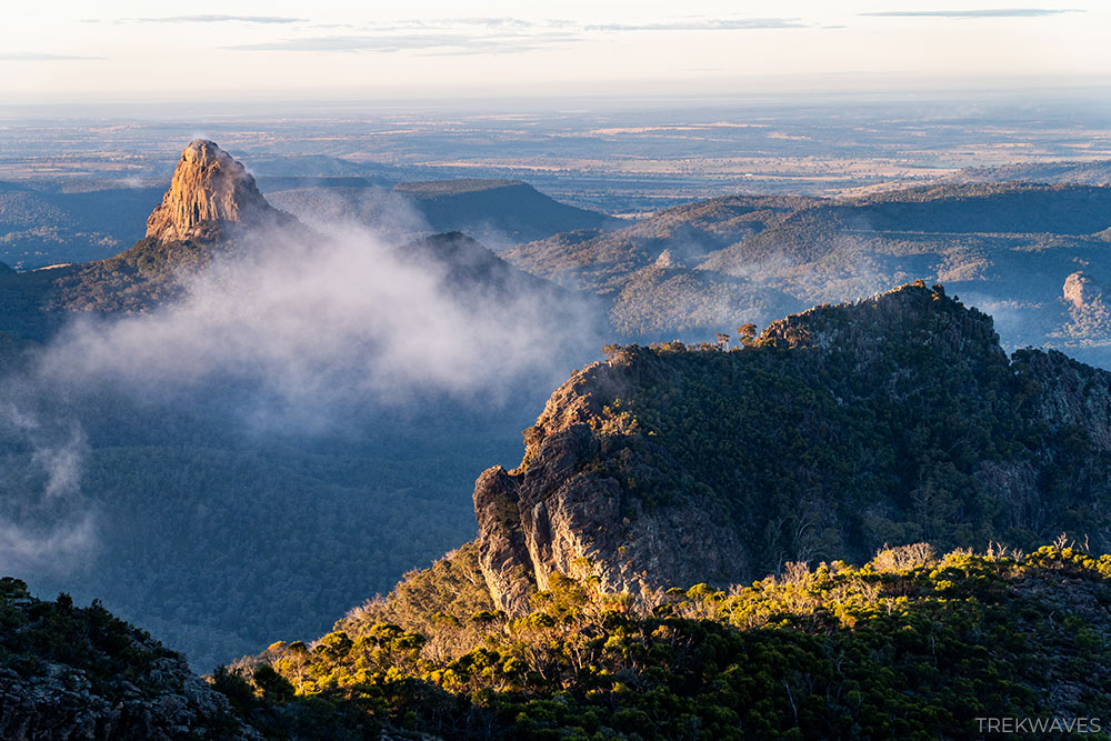
Crater Bluff, the Breadknife, and Belougery Spire all spread out around you in a way that makes the volcanic geology of the Warrumbungles finally click into place.
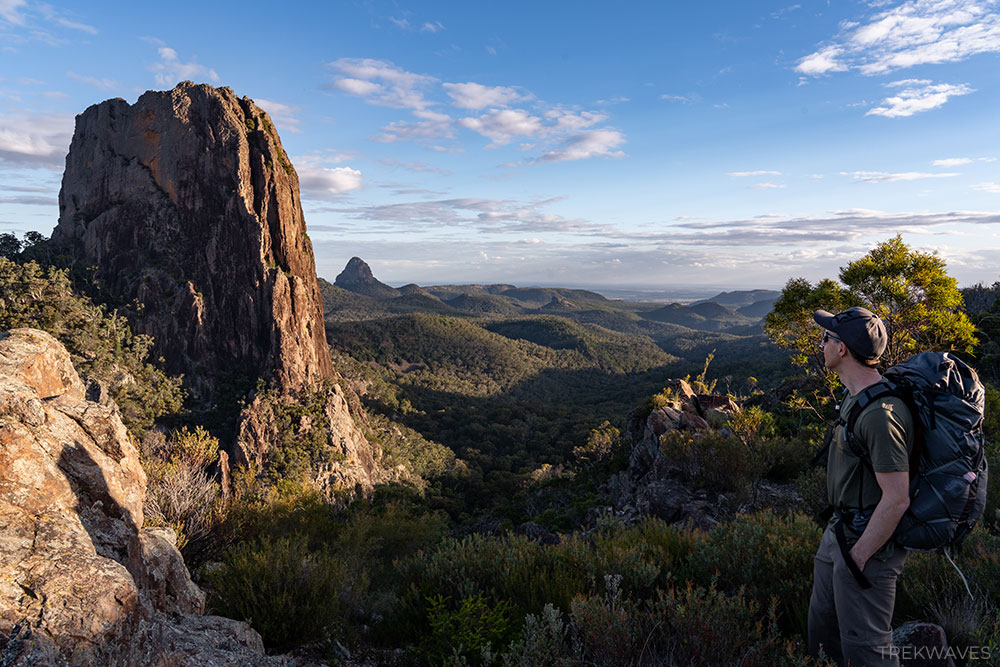
We descended to Dow’s Camp just before dark, set up the tent under clear skies, and were lulled to sleep by the distant sound of rescue helicopters — two climbers had become stuck on Crater Bluff and needed to be winched off after dark.
A good reminder that the Warrumbungles demand respect, particularly around the steeper volcanic peaks and climbing routes.
The next morning, I crawled out of the tent at 5:30am and set off for Bluff Mountain under the glow of my headlamp. The summit sits just 1.3km from camp, but the steep climb quickly warms you up, even on a chilly 6°C morning.
Weather in the Warrumbungles can change quickly. Clouds rolled in shortly after sunrise, making the timing feel even more rewarding.
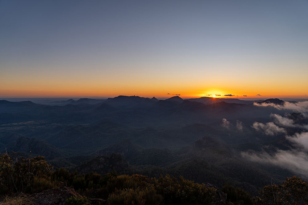
After breakfast we decided to head back up to the summit together once the sky cleared, which gave us a completely different perspective on the views.
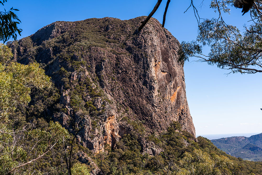
Once we packed up and started hiking out, the trail opened up with commanding views of Bluff Mountain behind us — it looks enormous from below, and you get a whole new appreciation for what you just climbed.
The return route via Ogma Gap and West Spirey Creek brings you past Point Wilderness and Middle Spirey lookouts before dropping back down to Pincham Carpark.
All up, this was one of the best overnight hikes we’ve completed in Australia — a trail packed with volcanic scenery, rewarding summit views, and enough variety to keep every kilometre interesting.
Essential Tips Before You Go
- Book Dow’s Camp early — it’s only 3 sites and fills up fast
- Carry more water than you think you need — creeks are frequently dry
- Check in at the visitor centre — confirm water availability at the Balor Hut
- Start early for a day hike — especially in summer; the exposed tops offer no shade
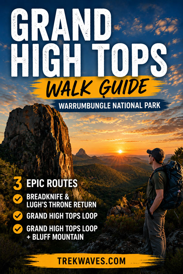
Found It Helpful? Pin It for Later!