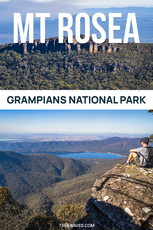
The Mount Rosea Summit hike takes you on a thrilling journey through the wild, untamed landscapes of the Grampians’ Serra Range.
Winding through eucalyptus forests and over jagged rocky terrain, this moderately challenging hike keeps you on your toes as you follow yellow arrows that lead you through dramatic rock formations and tight, maze-like passageways.
While the ascent is steep and demanding at times, the incredible views stretching across the park and the unique geological formations you encounter make this hike a must-do in the Grampians National Park.
Let me guide you through everything you need to know to prepare for the challenge of conquering the 1,009-meter summit of Mount Rosea.
How To Get To Mount Rosea Trail
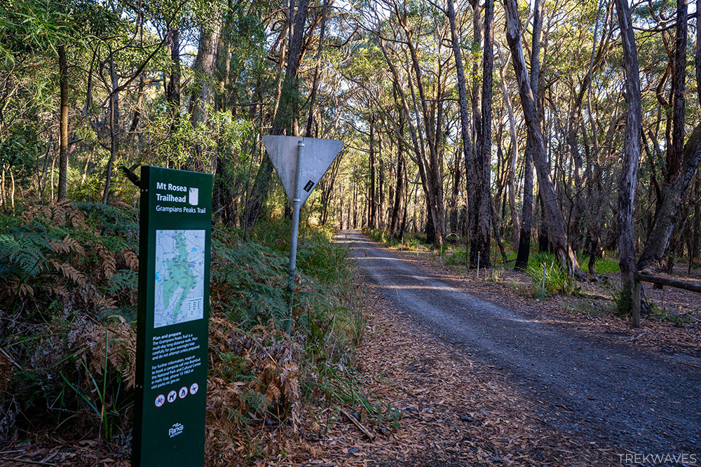
To get to the trailhead, make your way to the Rosea Car Park, situated around 12 minutes drive (8.5km) from Halls Gap, the main hub for Grampians exploration.
Keep in mind that Silverband Rd, leading to Rosea Car Park, is a one-way road (it changes to a two-way road after the Silverband Falls Car Park).
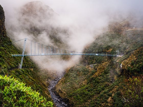
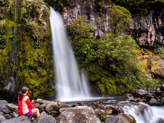
As you’ll be driving from the north, be sure to exit the car park to the south. This will also give you the opportunity to visit Silverband Falls or Lake Bellfield on the way back to Halls Gap.
Mount Rosea Trail Overview
The standard route to the Mount Rosea summit is a 9km return hike with a 466m elevation gain.
However, for a longer trek, you can extend your hike by following the Grampians Peaks Trail towards the Borough Huts and then return via the unmarked Burma Track.
Although this adds extra distance, it offers a more secluded path through the forest, making it a great choice on a hot, sunny day since most of the trail beyond Stony Creek Group Campground is quite exposed.
This is the route I decided on, and here are the details for this loop hike:
- Start & finish: Rosea Carpark
- Distance: 10.8km loop
- Elevation gain: 555m
- Time: At least half day
- Difficulty: Medium / Hard
- Location: Central Grampians

Mount Rosea Hike Highlights
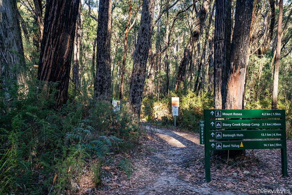
1. Rosea Carpark to Stony Creek Junction
After a brief walk on the fireroad from the Rosea Carpark, you’ll reach a prominent green signboard, giving you all the information on the distances to Mount Rosea, Stony Creek Group Camp, Borough Huts Campground, and Barri Yalug Campground.
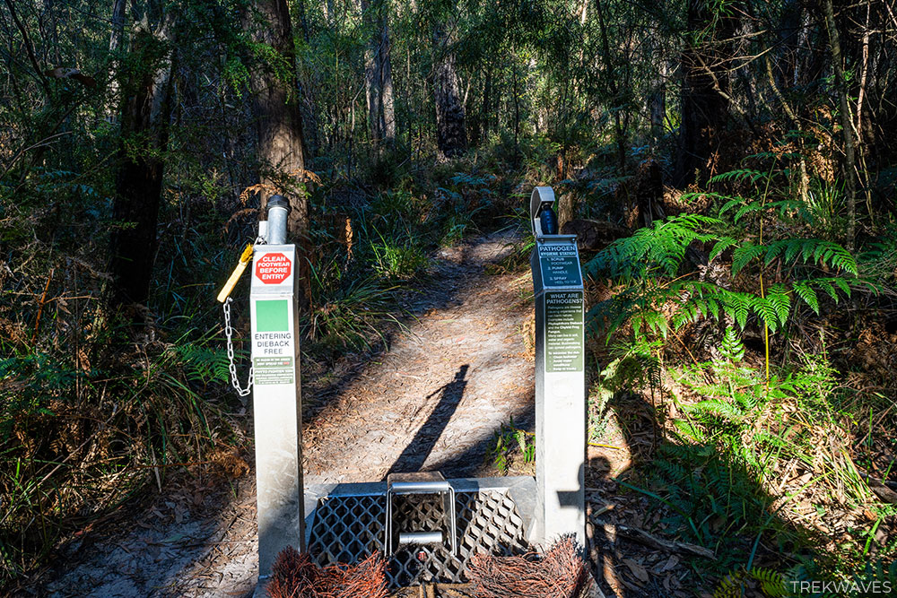
Soon after that, you’ll come to a hygiene station designed to prevent the spread of pathogens — take a moment to scrub your footwear before heading into the first part of the trail.
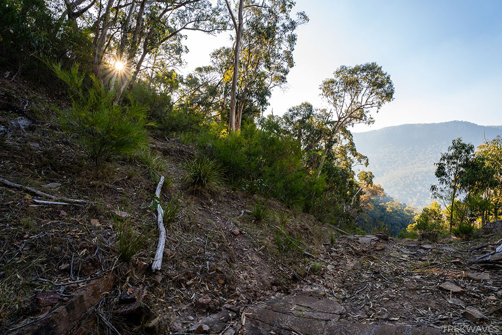
As the hike begins, it gently winds through a shaded eucalyptus forest, providing a cool and pleasant start.
After some time, you’ll come across a signpost marking 3.1 km remaining to Mount Rosea, where the trail steepens into more rugged, rocky terrain.
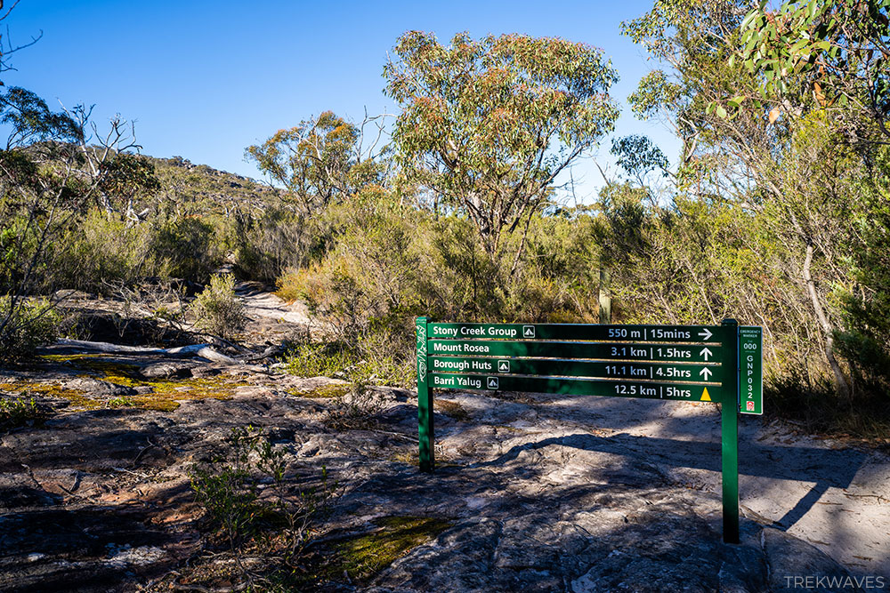
Note that the Stony Creek Group Campground is located 550 meters off the main Grampians Peak Trail you’re following, so you won’t pass through it directly.
2. Stony Creek Junction to Gate of The East Wind
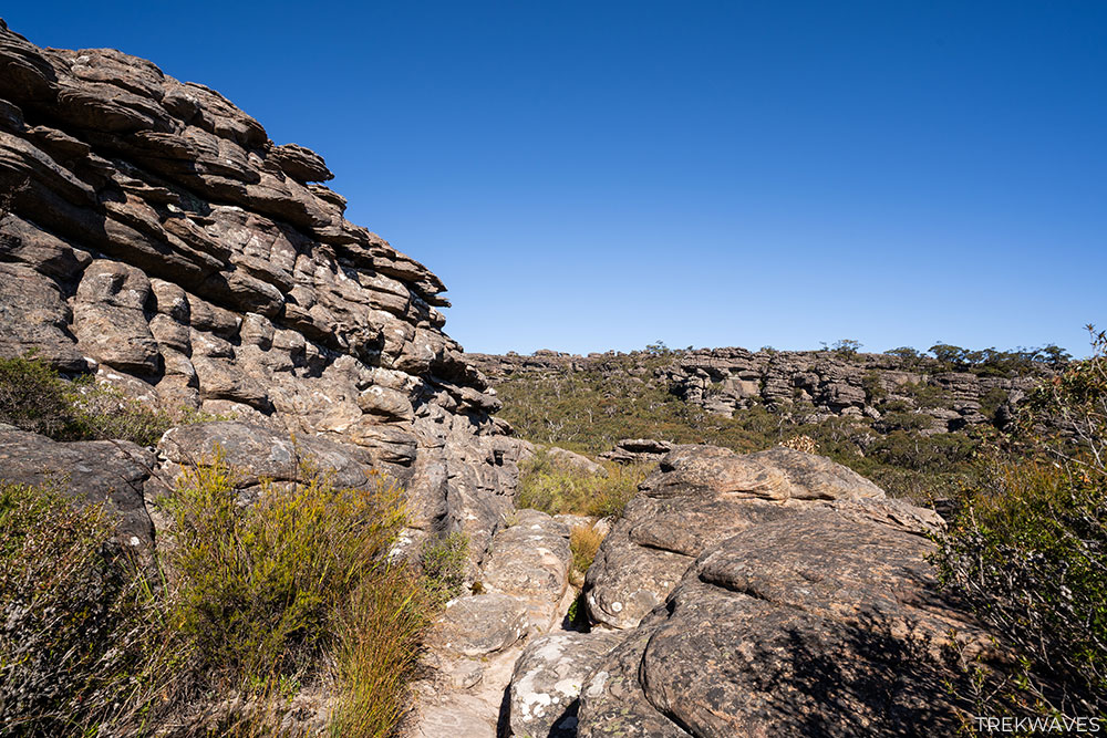
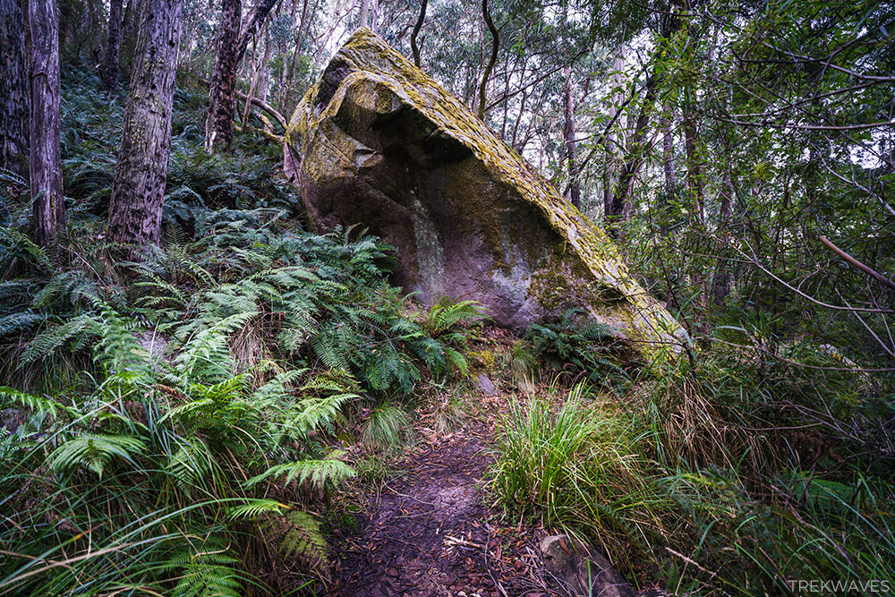
As you progress, the scenery changes dramatically. The lower forested area gives way to towering rock walls and massive sandstone formations, with the occasional narrow corridor that demands both agility and determination.
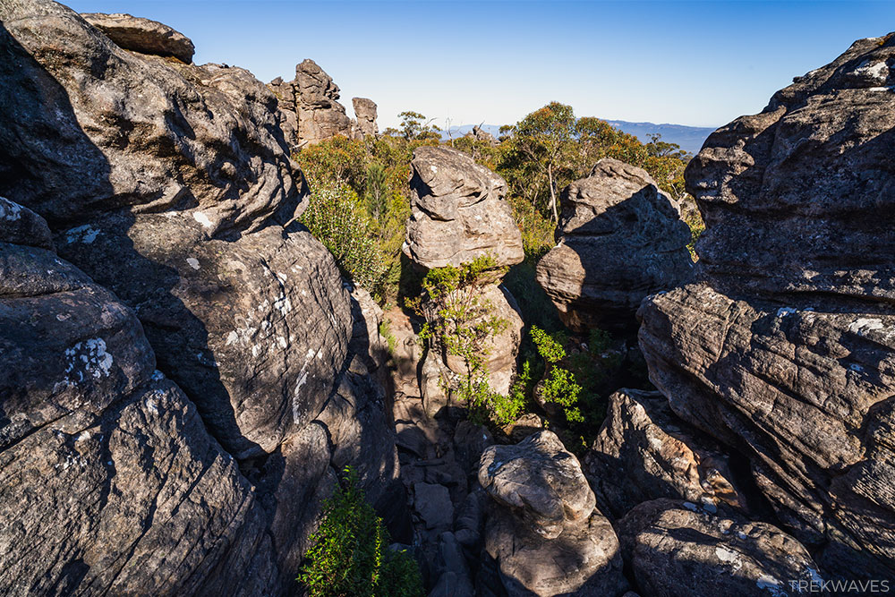
The constant change in terrain, from soft forest floor to rocky ledges, keeps the hike engaging.
In many spots, you’ll be scrambling over large rocks, making the climb feel more like a fun obstacle course than a traditional hiking trail.
What makes this hike particularly enjoyable is how interactive it feels — following the yellow arrows through the maze of rocks adds an element of discovery. You’re not just hiking; you’re navigating through nature’s playground.
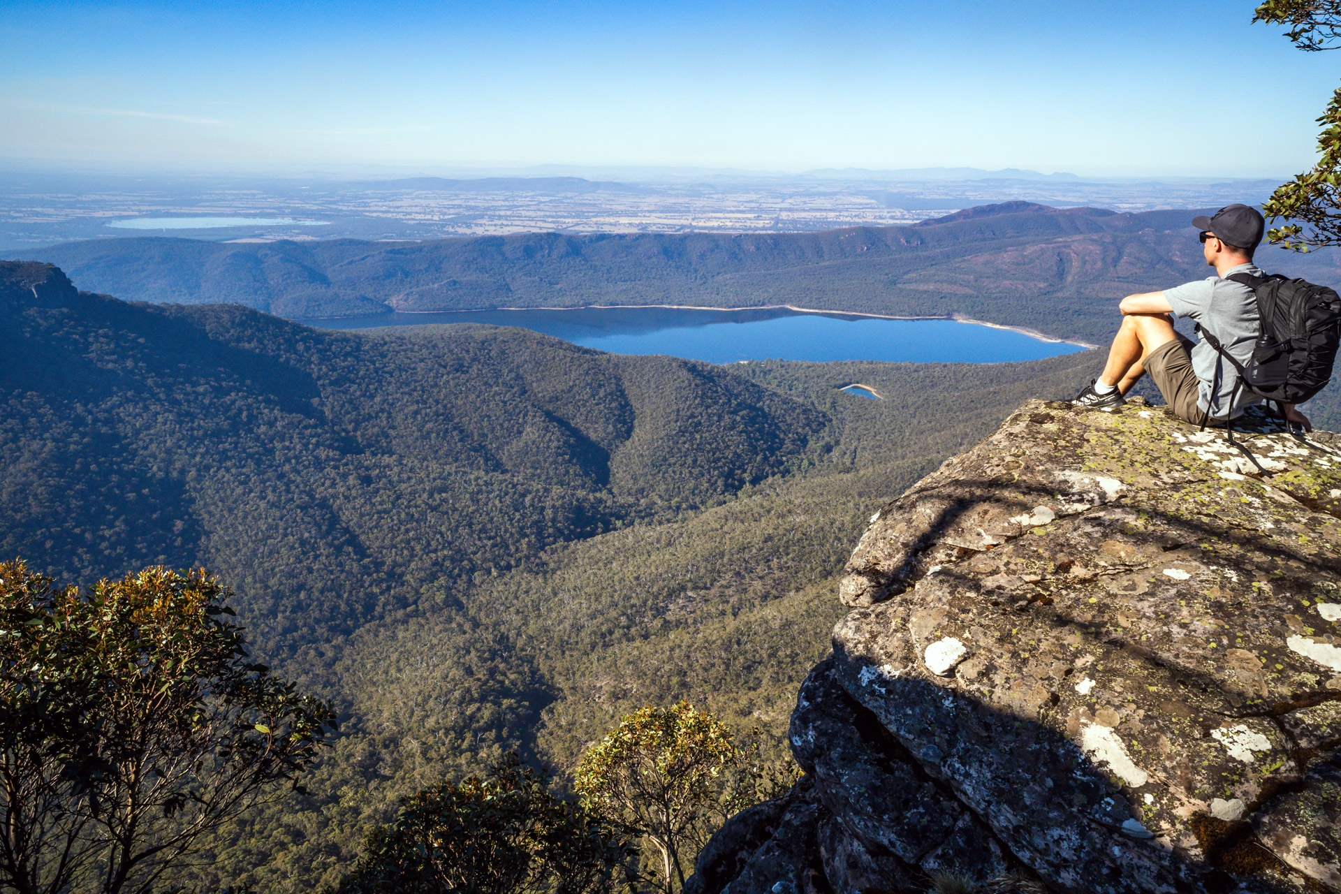
As you reach the upper sections of the trail, you’ll be rewarded with your first view of Lake Bellfield and the surrounding peaks, as the path winds south-east along the steep ridgeline.
Eventually, you’ll cross a small wooden bridge known as the Gate of the East Wind, marking the start of the final leg of your trek towards the Mount Rosea Summit.
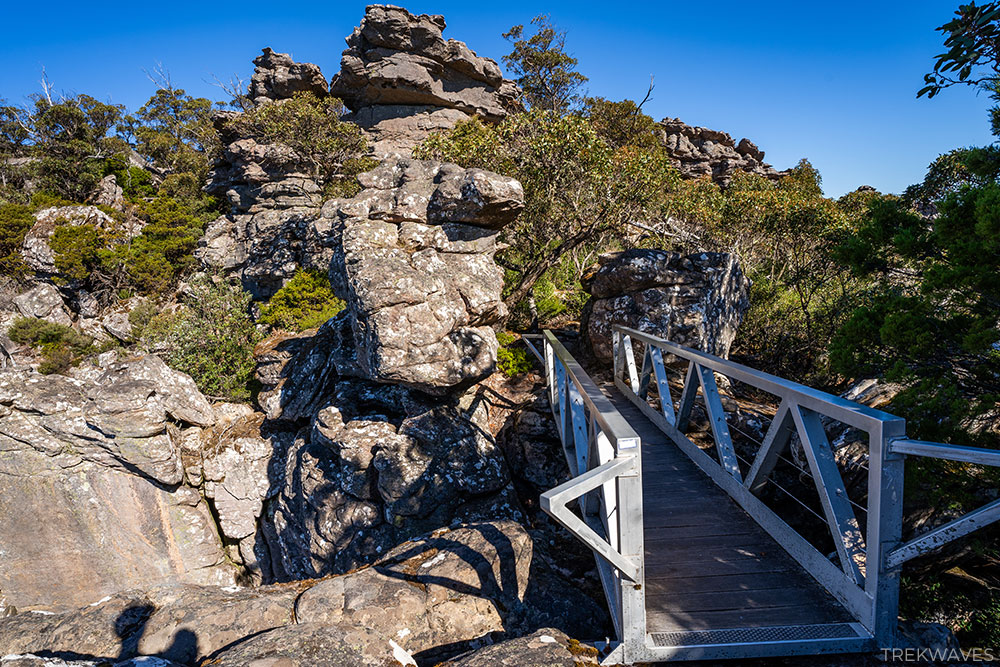
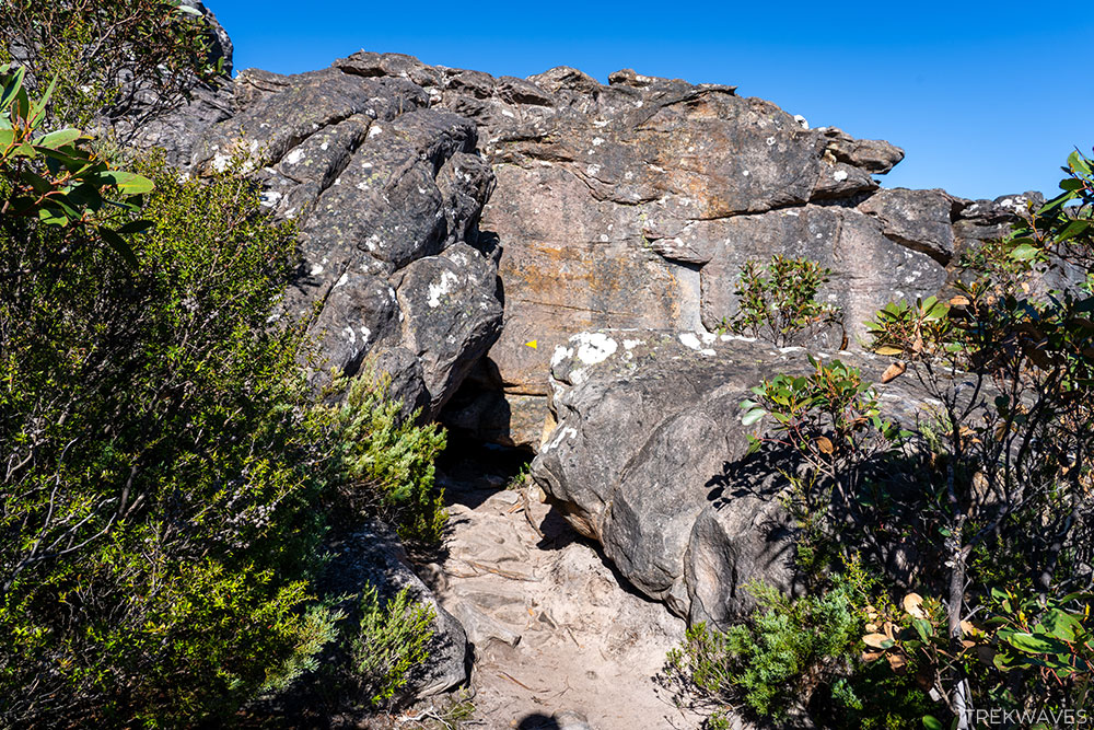
3. Gate of The East Wind to Mount Rosea Summit
With the summit less than 1 km from the bridge, you’ll pass through several rocky corridors before the trail opens up.
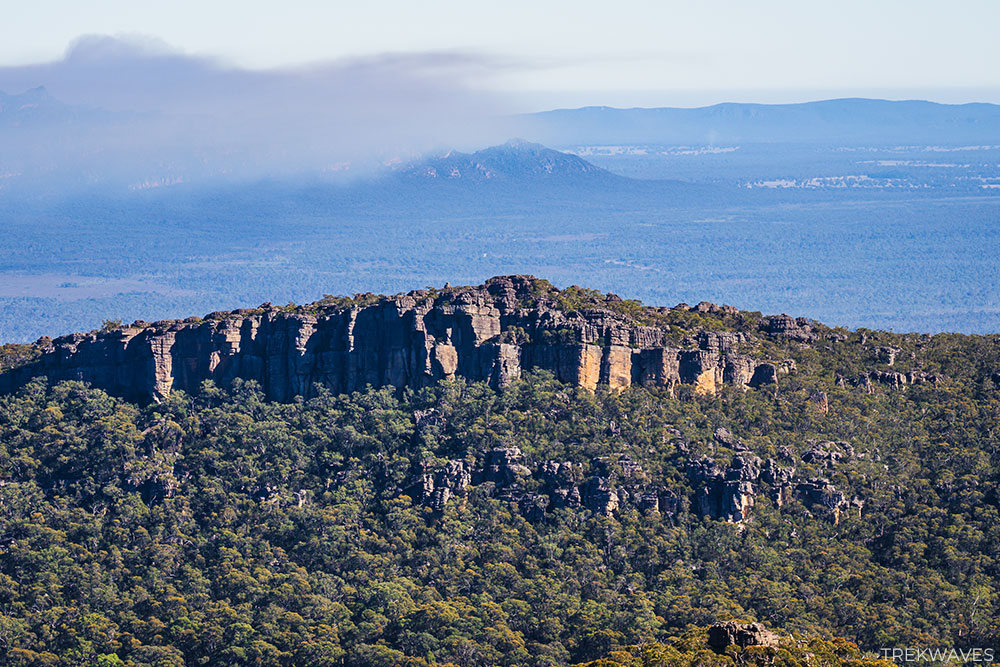
The landscape becomes similar to the final section of the Pinnacle Walk, where you’ll be surrounded by imposing, layered rock cliffs.
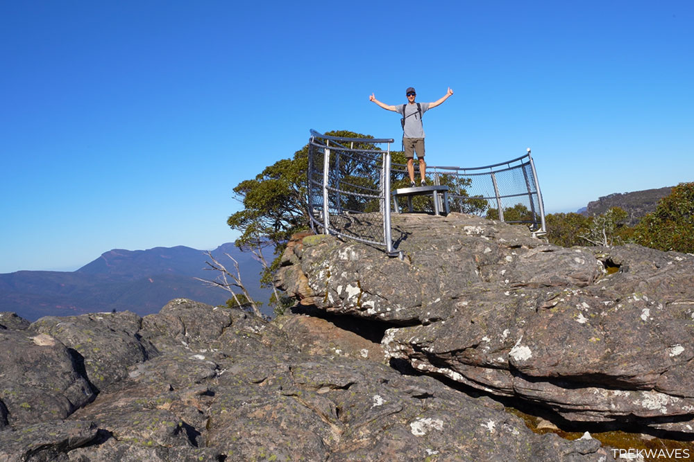
Mount Rosea Summit
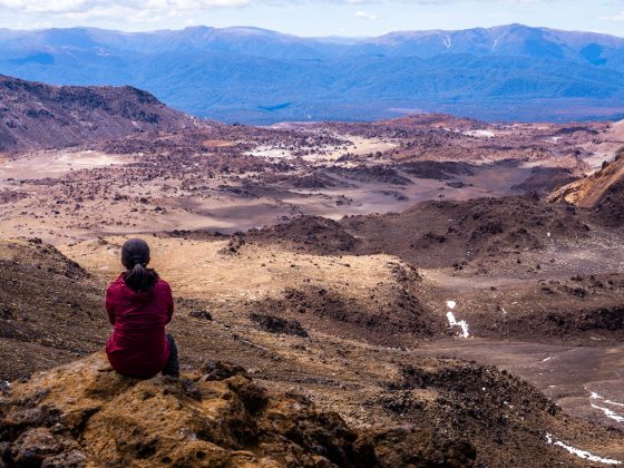
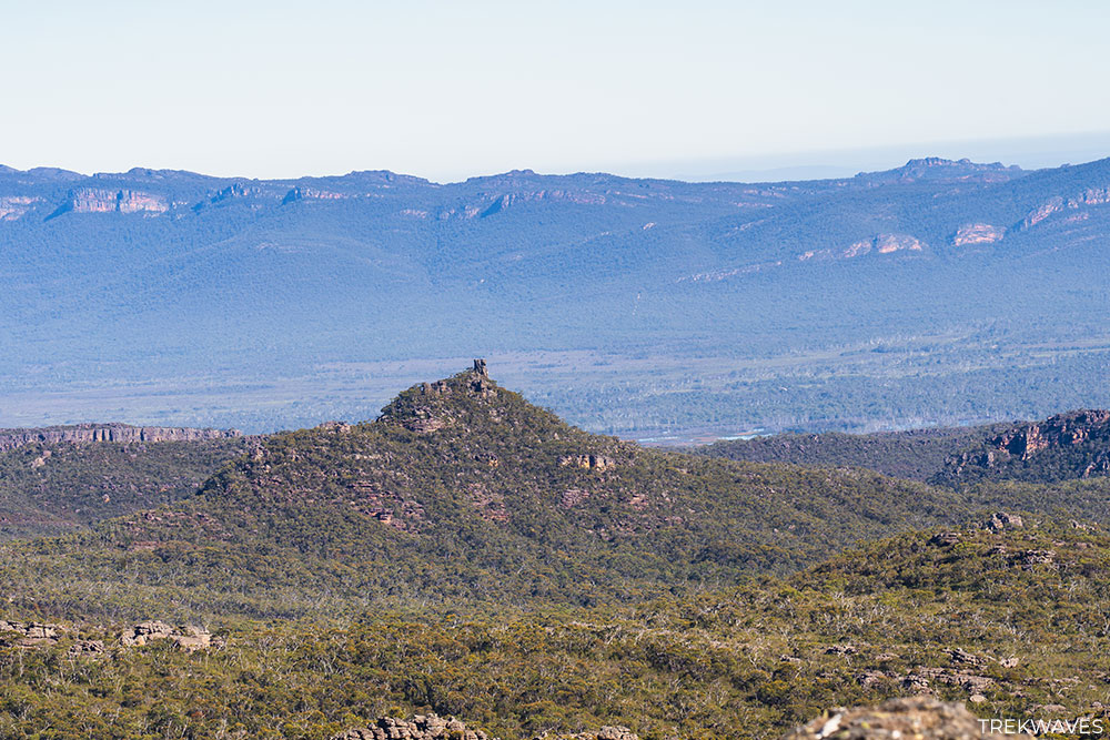
Once you reach the summit of Mount Rosea, standing at 1,009 meters, you’ll be rewarded with breathtaking 360-degree views of the Grampians.
The scenery extends to Mount William and, on clear days, all the way to the plains of western Victoria.
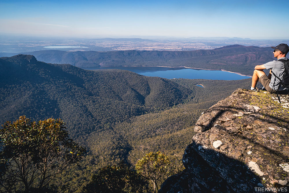
The summit is a perfect spot to rest and enjoy the grandeur of the surrounding cliffs and valleys, offering a well-earned reward after the steep climb.
Mt Rosea Summit Return (via Burma Track)
From the summit, you have the option to return the same way back to the car park or continue along the Grampians Peak Trail toward Borough Huts.
This route eventually leads to the unmarked Burma Track, which veers off the GPT, offering a quieter, more secluded experience.
The Burma Track has some overgrown sections, but it’s relatively easy to navigate.
The trail brings you back to Silverband Road and you’ll need to walk the final 1 km along the road to get back to the car park.
Final Thoughts
The Mount Rosea Summit hike is a quintessential Grampians experience, blending the park’s striking landscapes with a satisfying physical challenge.
The trail’s rocky terrain, spectacular rock formations, and stunning summit views make it one of the best hikes in the region.
If I had to choose again, I’d likely go for a 9km return hike from the Rosea Car Park, as the return track via Burma isn’t particularly thrilling.
However, as previously mentioned, it could be a good option on a hot, sunny day since it winds through dense forest.
All of the small creeks along Burma Track were dry during my visit, but I think the hike will be much more enjoyable during wet periods when the creeks are flowing.
Found it helpful? Pin it for later!